
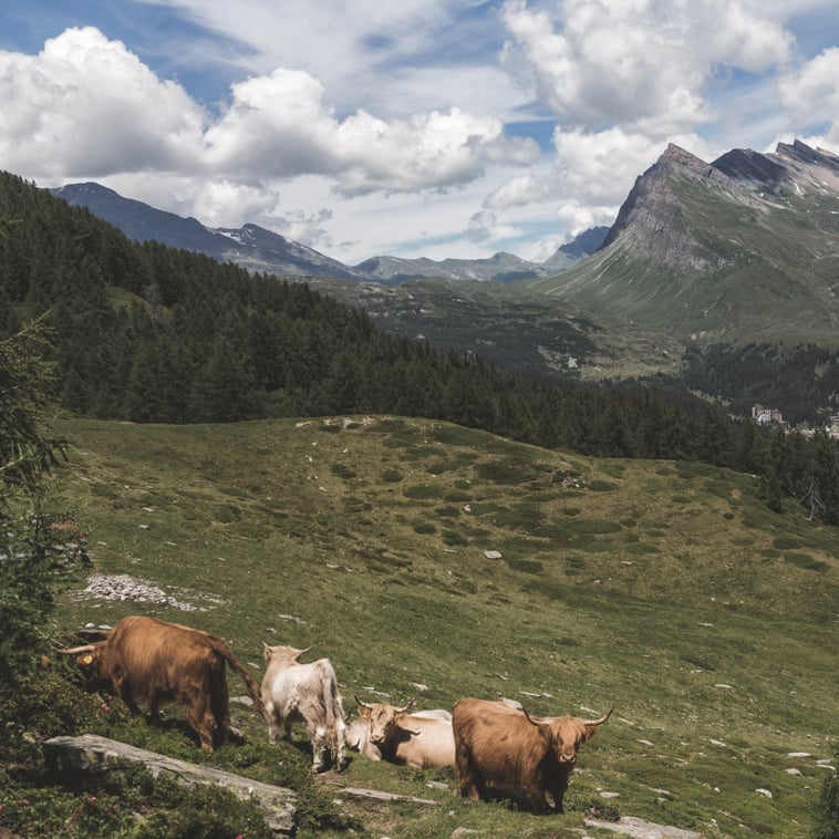
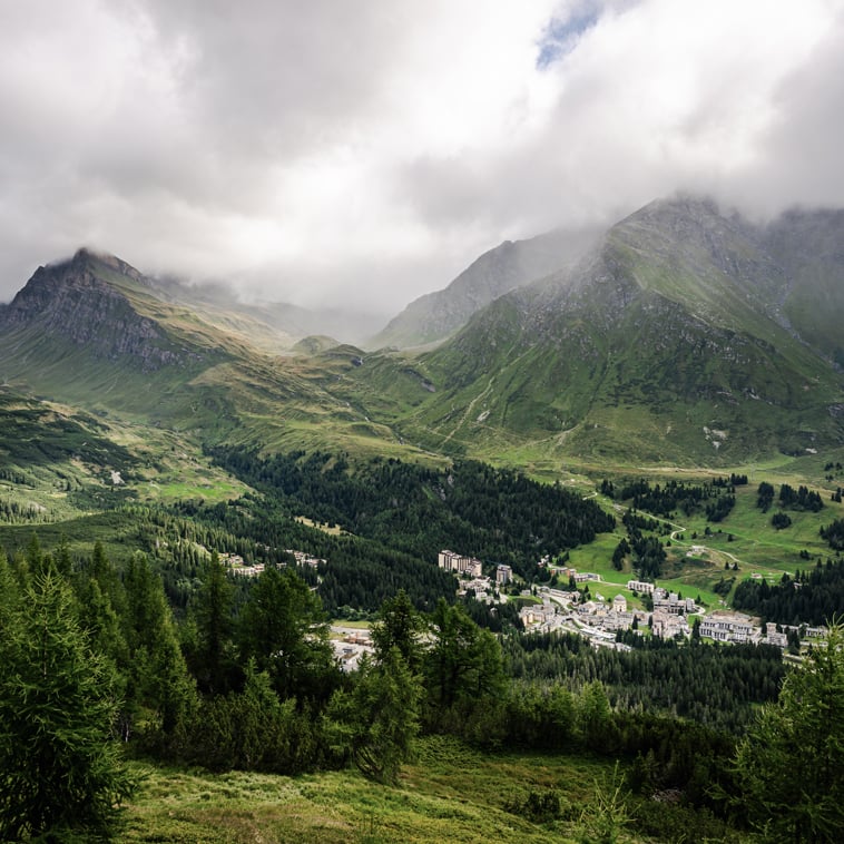
San Bernardino and its surroundings offer beautiful hiking trails in the lush nature typical of this Alpine region. Routes of varying difficulty lead through quiet valleys, past cozy mountain huts, mountain lakes or picturesque waterfalls.
Below are the most beautiful treks, from easy family treks to more challenging ones. San Bernardino is also a stop on several multi-day trails for those who want to discover the Grisons in an authentic way.
On historic mule tracks and paths, among vineyards and chestnut groves, we retrace millennia of history along Graubünden’s first carriageable Alpine road. The route, which starts from St. Victor and ends at the Hospice on the San Bernardino Pass, is ideally divided into four stages, but more experienced hikers will undoubtedly be able to shorten the hiking time.
The high-altitude trail follows the main ridge of the mountain range dividing the Calanca and Mesolcina valleys, requiring sure-footedness and some knowledge of the alpine environment. It is possible to divide the route into three or four stages, reserving lodging at the unattended Pian Grand, Ganan and Alp di Fora huts or at the Buffalora hut.
The trail starts in the center of San Bernardino and follows the tracks of the Walsers in the alpine valleys of Graubünden, among historic paths and alpine landscapes. The route is divided into 19 stages, each run between 5 and 7 hours, and passes through tourist destinations such as Davos, Kloster, and Arosa.
Very varied hike that allows you to cross various ecosystems while always enjoying beautiful views. The low elevation gain allows even the less experienced to take this route, but those who would prefer to avoid the first ascent can take advantage of the Fracch-Confin lift to ascend to higher ground.
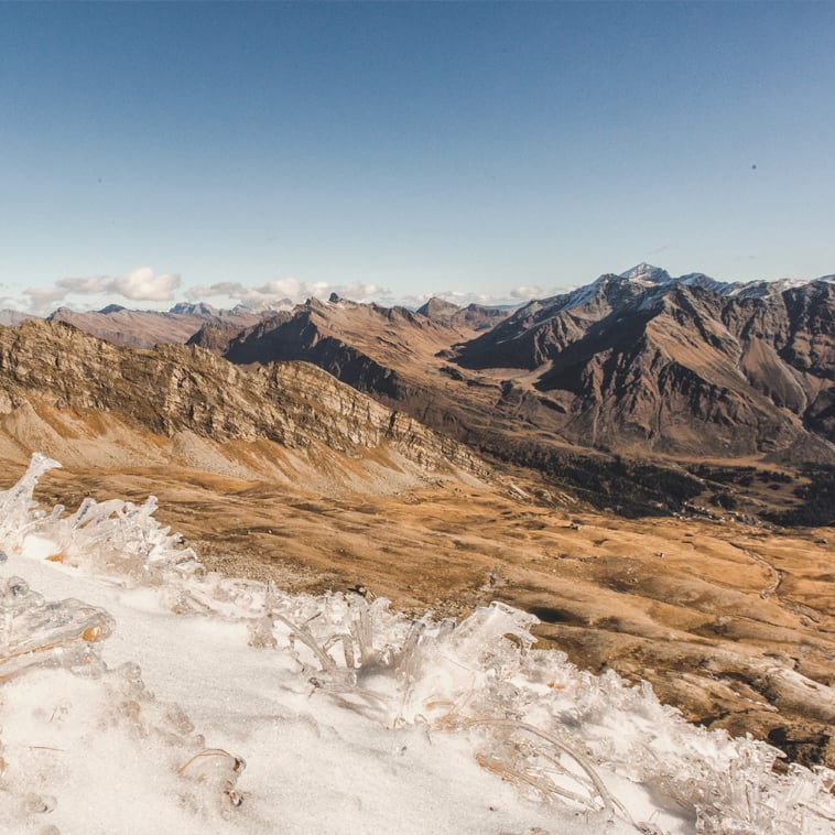
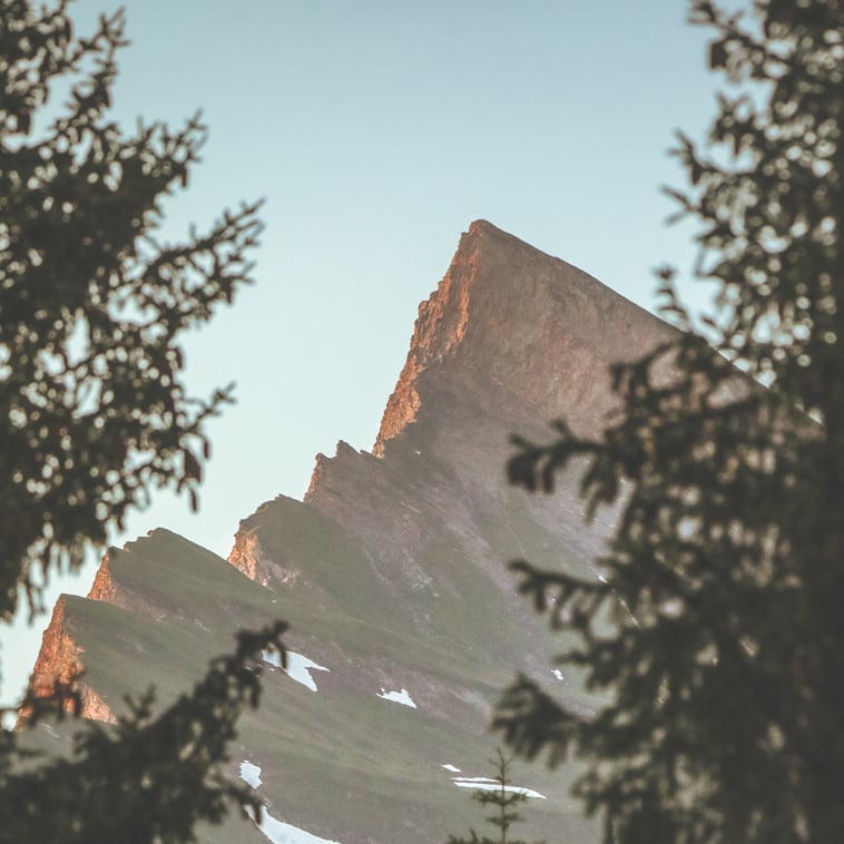
The south summit of the iconic San Bernardino Mountain is the most scenic and the most frequented of the two summit peaks̀. An exciting panorama opens up from the summit, with Piz de la Lumbreida, Piz Tambo, the blade of Piz Cavriola, Piz de Mucia, Piz Moesola and the Rodonds. The trail has a more exposed section on the ridge line, equipped with chains.
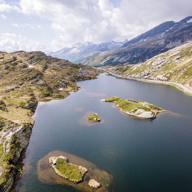
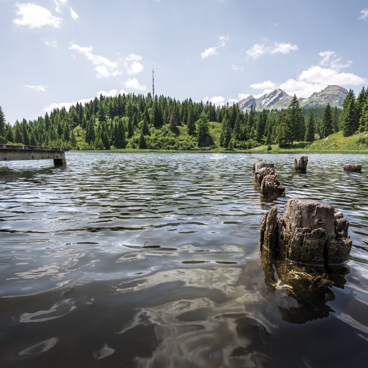
A loop trail around the two largest bodies of water in San Bernardino, Island Lake and Lagh de Pian Doss. The absence of elevation gain makes this route suitable for everyone, including families with children and strollers, or those who simply want to walk in peace.
Very varied hike that allows you to cross various ecosystems while always enjoying beautiful views. The low elevation gain allows even the less experienced to take this route, but those who would prefer to avoid the first ascent can take advantage of the Fracch-Confin lift to ascend to higher ground.
The south summit of the iconic San Bernardino Mountain is the most scenic and the most frequented of the two summit peaks̀. An exciting panorama opens up from the summit, with Piz de la Lumbreida, Piz Tambo, the blade of Piz Cavriola, Piz de Mucia, Piz Moesola and the Rodonds. The trail has a more exposed section on the ridge line, equipped with chains.
A loop trail around the two largest bodies of water in San Bernardino, Island Lake and Lagh de Pian Doss. The absence of elevation gain makes this route suitable for everyone, including families with children and strollers, or those who simply want to walk in peace.
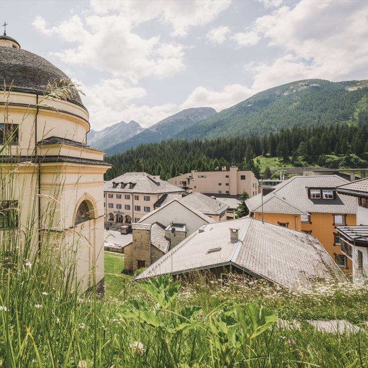
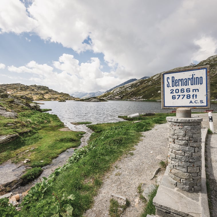
A beautiful walk from the village to the San Bernardino Pass. It starts from the town center at 1608 meters to reach the 2065 meters of the Pass. Two hours of ascent and one and a half hours of descent are required to complete the nine-kilometer loop (and about 460 meters of elevation gain).
A fairly challenging route that can be covered in about six hours. From the San Bernardino hot spring, the starting point of the trek, we ascend to Alp de Vignun accompanied all along the way by splendid views of Piz Uccello, Piz Cavriola and Piz de la Lumbreida, to the village of Nufenen.
A downhill route that unfolds from San Bernardino Pass to Pian San Giacomo, passing Alp de Muccia, Alpe Vignon, and Confin Bass. Despite its length (20 kilometers that can be covered in about 7 hours), the route does not present any particular difficulties.